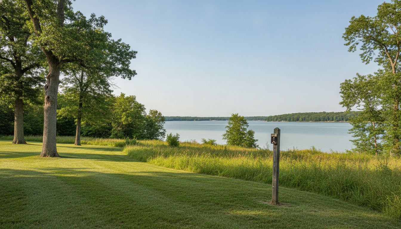
Corps of Engineers tree removal on federal project land is prohibited without written permission from the District Commander. That rule covers trees and parts of trees. Near Perry Lake, the vegetation boundary runs landward from the water to the project boundary. Distance from shore alone doesn’t settle whether cutting is allowed.
If you own ground around Perry or Ozawkie, that’s the part worth slowing down for. A fence, a mowing line or the shoreline you’ve looked at for twenty years doesn’t decide a federal boundary. Your deed, the government survey and the Perry Lake project office do.
What follows is the published federal framework, section by section. It isn’t legal advice, and it can’t tell you where your own line runs.
What is Corps of Engineers project land near Perry Lake?
Project land is the federal land the rules in 36 CFR Part 327 apply to. The hard part isn’t the rule, it’s working out where that land starts on your particular property.
The water’s edge doesn’t mark it. Neither does a fence, and neither does the line the last owner happened to mow to. What governs is the surveyed project boundary, and that line doesn’t have to look like anything on the ground.
Those markers are protected too. Section 327.14(a) of the federal regulation reads: “Destruction, injury, defacement, removal or any alteration of public property including, but not limited to, developed facilities, natural formations, mineral deposits, historical and archaeological features, paleontological resources, boundary monumentation or markers and vegetative growth, is prohibited except when in accordance with written permission of the District Commander.”
Note that vegetative growth sits in that same list. So do boundary markers, which means a post in the way of the job is not something to pull. Call the project office and get the line settled before anybody scopes the cutting.
Why is the water’s edge the wrong boundary?
Because for vegetation work the regulated band runs the other direction. Appendix A to section 327.30 puts it plainly: “Shoreline allocations cover that land and/or water extending from the edge of the water and waterward with the exception of allocations for the purpose of vegetation modification which extends landward to the project boundary.”
Read that twice, because it’s backwards from how most people picture it. A tree can sit well back from the water and still fall inside the band that matters. Being nowhere near the lake is not the reassurance it sounds like.
Ground disturbance isn’t the trigger either. The same appendix says “Shoreline Use Permits are also required for land vegetation modification activities which do not involve disruption to land form.”
So taking a limb off without touching the soil can still need permission. Pruning and chemical treatment sit in the same bucket as removal.
What does Corps of Engineers tree removal require?
Corps of Engineers tree removal requires written permission when the work involves project land. Section 327.14(b) states: “Cutting or gathering of trees or parts of trees and/or the removal of wood from project lands is prohibited without written permission of the District Commander.”
The words “parts of trees” matter. The rule isn’t limited to felling an entire tree. Removing limbs or gathering cut wood can fall within its wording.
Appendix A separately includes pruning within vegetation modification. It names “cutting, pruning, chemical manipulation, removal or seeding” by private individuals. A small pruning job shouldn’t be treated as automatically exempt.
Written permission must come from the District Commander. A verbal conversation, old maintenance pattern or neighbor’s experience isn’t the written permission described in the rule.
After the federal question is resolved, an arborist consultation can define the appropriate work. A tree risk assessment guide explains what a documented tree opinion should address.
Where can vegetation modification be permitted?
Only in two designated allocation classes, and the designation isn’t yours to make. Appendix A(10) states: “Vegetation modification, including but not limited to, cutting, pruning, chemical manipulation, removal or seeding by private individuals is allowed only in those areas designated as Limited Development Areas or Protected Shoreline Areas.”
That sentence doesn’t identify Perry Lake’s allocations. It also doesn’t establish whether vegetation permits are issued there. Those are Perry-specific questions for the project office.
In public recreation areas there’s no permit path at all. Appendix A is flat about it: “No modification of land forms or vegetation by private individuals or groups of individuals is permitted in public recreation areas.”
What controls is the government’s designation, not how the ground looks to you. A road, a trail, a marina or a mown clearing nearby tells you nothing about which class you’re standing in.
Where modification can be considered, the permission comes first. Appendix A states: “Modification of vegetation by individuals may be allowed only following the issuance of a permit in accordance with appendix A.”
Appendix A(11) says “The term of a permit for vegetation modification will be for five years.” The same subsection lets the district commander issue shorter terms for one-time requests or to consolidate permits. So five years isn’t fixed, and none of it tells you what Perry Lake actually does.
What does a flowage easement change?
It changes what the Corps holds, not whether it holds anything. Section 327.30(d)(1) states: “For projects or portions of projects where Federal real estate interest is limited to easement title only, management actions will be appropriate within the limits of the estate acquired.”
That cuts both ways, and both halves get misread around here. An easement doesn’t mean the Corps has no say on your trees. It also doesn’t mean the Corps owns them.
The recorded deed is what settles the scope, and deeds in this situation differ parcel to parcel. Mowing history, a fence, or the fact that you’ve always walked down to the water proves nothing about it. Whether your ground is Corps fee land or easement land is a title question with a title answer.
Don’t begin tree removal work while that interest remains uncertain. First ask the project office to identify the applicable boundary and process.
Can you clear dead wood or storm debris?
There’s one narrow carve-out, and it’s narrower than people expect. Section 327.14(c) states: “Gathering of dead wood on the ground for use in designated recreation areas as firewood is permitted, unless prohibited and posted by the District Commander.”
Count the conditions, because all four are doing work. The wood has to be dead. It has to already be on the ground. The use has to stay inside a designated recreation area. And a posting can switch it off.
That means it isn’t permission to load a truck and take wood home, and it isn’t permission to drop a standing dead tree. A trunk that came down across the line in a storm is still a boundary question, not a firewood question.
If a tree falls across an uncertain line, pause before cutting. Contact the project office and describe where each section landed. Once authorized work is clear, ask an independent tree-service provider to assess the damage, electrical hazards, branches under tension and cleanup scope. Our tree debris disposal guide covers the separate disposal question.
What can happen if you cut without permission?
Enough that it’s worth an afternoon of checking first. Section 327.25(a) says a violation “may be punished by a fine of not more than $5,000 or imprisonment for not more than six months or both.”
Read that as the ceiling the statute sets, not as what happens. It’s a maximum, not a fee schedule, and nothing here predicts any particular case.
The order that keeps you out of it is dull and it works: settle the boundary, find out what the federal process is, get the written permission if you need it, then book the work. An estimate on the tree isn’t a decision about the line.
The local city-permit question can also be separate. Our Topeka tree removal permit guide addresses that municipal issue. This guide addresses the federal project-land question instead.
How do you confirm where the project boundary runs?
Start with the Perry Lake project office before a crew marks the cutting area. Use this sequence:
- Stop cutting, pruning and debris removal near the uncertain line.
- Gather the parcel deed, survey and any recorded easement documents.
- Note each affected tree and the proposed type of work.
- Call the project office and request parcel-specific boundary guidance.
- Ask whether written permission or another authorization is required.
- Keep the federal answer with the tree-work documents.
- Schedule an assessment only after the work area is clear.
Appendix A(12) says “the permittee will delineate the government property line, as surveyed and marked by the government, in a clear but unobtrusive manner approved by the district commander”. The government establishes the surveyed line. The permittee doesn’t create that boundary independently.
The Corps’ own Perry Lake project page lists the office at 10419 Perry Park Drive, Perry, KS 66073-9717, phone (785) 597-5144. It’s about 17 miles east of Topeka on US 24, so this is a short drive rather than a federal maze.
Once the boundary is settled, a tree health assessment can identify whether removal is necessary. Trimming or monitoring may be appropriate when the tree doesn’t require removal.
Frequently asked questions
Does this apply if the tree is on my side of the fence?
A fence doesn’t establish the federal project boundary. Check the government survey, deed and any recorded easement before relying on the fence. The Perry Lake project office can address the specific parcel.
Can a crew clear a tree that fell across the boundary?
Not until the boundary and required permission are resolved. The firewood exception doesn’t provide general storm-cleanup authority. Tell the project office where the trunk, crown and cut sections are located.
Can I trim a limb hanging over my dock?
Don’t assume an overhanging limb can be trimmed without permission. The federal framework includes pruning and parts of trees. Confirm the boundary, allocation and required authorization before cutting.
Is a flowage easement the same as Corps-owned land?
No. Easement-only property limits federal management to the estate acquired. That doesn’t remove federal interests or establish federal ownership of every tree. The recorded deed settles the scope.
How do I find the Corps property boundary?
Call the Perry Lake project office at (785) 597-5144. Bring the parcel deed, survey and recorded easement documents. Don’t move government boundary markers or establish your own line.
Can I take downed firewood home?
The cited exception doesn’t authorize that. It covers dead wood on the ground for use in designated recreation areas, unless prohibited and posted. Ask the project office before moving wood elsewhere.
What if the previous owner already cleared trees?
Previous clearing doesn’t establish current permission. It also doesn’t show whether earlier work had written authorization. Resolve today’s boundary and permission questions before continuing that pattern.
Who handles the tree after the federal question is settled?
An independent tree-service provider can assess the authorized work area and prepare a written scope. Topeka Tree Pro connects Greater Topeka homeowners with independent insured providers. Call (785) 333-4052 after the project office defines the permissible work area, then verify the provider’s qualifications and insurance directly.
For Perry Lake boundary and permit questions, call the project office first at (785) 597-5144. Once the federal issue is resolved, call Topeka Tree Pro at (785) 333-4052 for help connecting with an independent insured tree-service provider.